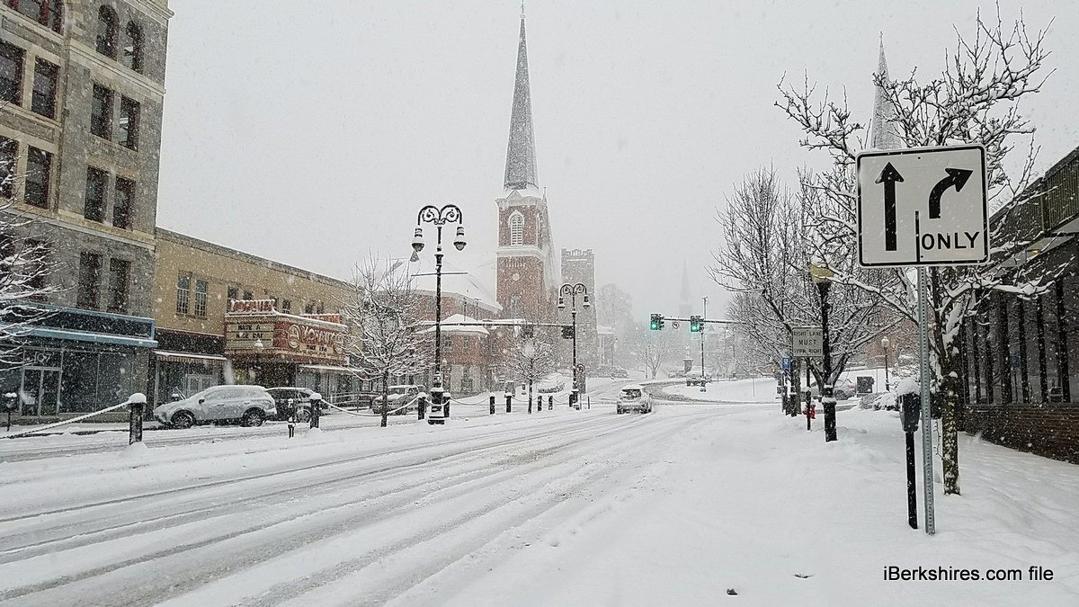
Freezing Rain and Sleet Expected Wednesday | 10:47AM / Wednesday, January 05, 2022 | |
The U.S. National Weather Service has issued a special weather statement for portions of the mid-Hudson Valley, central and northern Taconics, northern Berkshires, and southern Vermont prior to noontime.
Some light glazes of ice are possible and this may cause some slippery spots on untreated surfaces. Sleet accumulations will be very light.
MassDOT issued a notice that the freezing rain will impact travel:
Members of the public are encouraged to travel only if necessary and delay trips if possible until at least noon today. MassDOT crews have been chemically treating and salting roadways but rain, freezing rain and light snow in some regions has impacted travel. At this time Route 2 is closed in Orange and Templeton due to several crashes which have occurred.
Temperatures will continue to rise towards and above freezing. Temperatures in North County should hit the low 40s. Slightly lower temperatures can be expected throughout Central and South County, according to Accuweather.
A coating to an inch of snow can be expected Thursday morning. Precipitation should start around 1 a.m. and end around 7 a.m. in North County.
According to Accuweather, an inch or two of snow can be expected in Central and South County at night.
Another dusting can be expected Friday.
Throughout the county expect an accumulation of 1-3 inches of snow throughout the day.
Although cool with temperatures in the low 20s are expected Saturday, it should be a sunny day throughout the county.
But expect snow sleet and freezing rain Sunday throughout the Berkshires.
|