State Grant Supports Pedestrian Safety on Pittsfield's West StreetBy Brittany Polito, iBerkshires Staff
05:19AM / Friday, August 09, 2024 | |
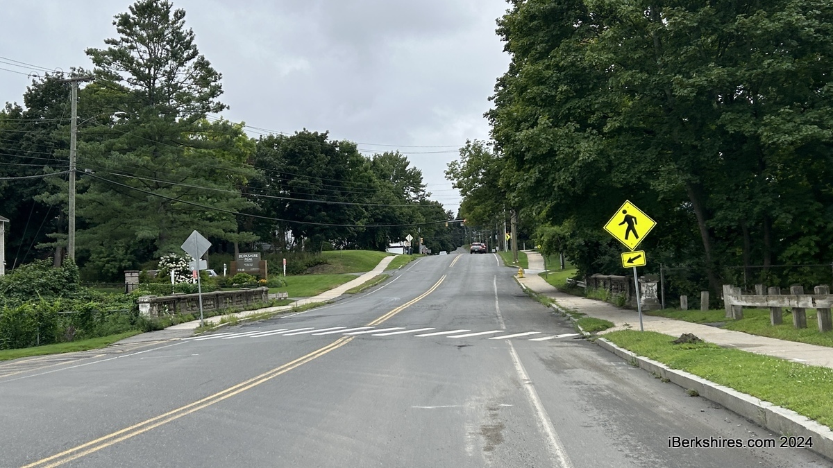 The crosswalk in front of Dorothy Amos Park where a fatality occurred will have a raised sidewalk. The crosswalk in front of Dorothy Amos Park where a fatality occurred will have a raised sidewalk. |
PITTSFIELD, Mass. — A $235,000 boost from the state will fund "road diet" improvements on West Street, a corridor that saw two pedestrian fatalities last year.
The Massachusetts Department of Transportation on Monday announced $6.5 million in funding through the Healey-Driscoll administration's Shared Streets and Spaces Program. Pittsfield was the only Berkshire County community in the list of 28 municipalities and two Regional Transit Authorities.
The $235,000 will go toward continued safety efforts on West Street, which includes a "road diet" from Valentine Road to the Government Drive/College Way split, ADA-compliant curb ramps, separated bike lanes, pavement markings, and rectangular rapid flashing beacons.
Commissioner of Public Services and Utilities Ricardo Morales explained that the funding will go toward green bike lane paint and the beacons, which cost about $180,000 alone.
The beacons are placed on both sides of a crosswalk below the pedestrian crossing sign and above the diagonal downward arrow plaque, pointing at the crossing. There will be six total that accompany raised crosswalks, with two placed at three locations:
-
The mid-block between Dewey Avenue and College Way
-
West of the Eversource driveway
-
East of Euclid Avenue
These have been compared to a similar design on Tyler Street meant to slow traffic.
"If you've driven Tyler Street and you kind of check your speedometer if you're going 30 miles an hour, you're not going to bite your tongue off," City Engineer Tyler Shedd said during a public hearing last month.
"If you're going 20, 25 miles an hour you might not really notice the bump. If you're going 40, you'll feel it and that's sort of the intent is that it encourages people through a slightly punitive measure to follow the speed limit."
Last year, the city began having public hearings to devise a pedestrian safety plan in the corridor. In January 2023, Shaloon Milord was struck and killed while crossing in front of Dorothy Amos Park, and in October 2023, Shane Cassavant was struck and killed farther up the street while doing roadwork.
The Shared Streets and Spaces Program encourages quick implementation of projects to improve plazas, sidewalks, curbs, streets, bus stops, parking areas, and other public spaces to support public health, safe mobility, and strengthened commerce.
In 2020, the city received $238,826 to support 20 placemaking projects. This included enhanced mobility projects such as reducing travel lanes on the first block of North Street from two to one lane and adding the protected bike lanes.
It also included treatment to the Wahconah and North streets, Linden and North streets, Bradford and North streets intersections, and the added bike lanes on Columbus Avenue and Melville Street.
For the place-making part of the grant, much of the funding went to the purchase of parklets to provide more outdoor dining space. The definition of a parklet is a publicly used space that takes the space of a parking spot. The goal of a parklet is to be an extension of the sidewalk.
The community has called for safety solutions and three of four scheduled project hearings have occurred. There is one more community meeting before the bid is finalized.
After a few iterations, the updated design reduces the footprint and adds a signal at the intersection of lower and upper West Street. The City Council has authorized a $2 million capital borrowing for the streetscape improvements on the corridor and the hope is to bid work in the fall with construction beginning in the springtime.
Planners said there wasn't another change that would improve pedestrian safety without sacrificing vehicle travel time. A traffic study showed that going from a single stop sign coming from lower West Street to a signalized intersection raised the intersection's grade classification by several points.
A roundabout was another option but there is not a lot of space there. There was a proposal to eliminate the right-hand turn lane going onto lower West Street but it did not bode well with the community and was scrapped.
The project area from Jubilee Hill to Backman Avenue is a 25 mph corridor that is said to see the most egregious speeding. It aims to improve pedestrian comfort, add bike lanes in line with the Bike Facilities Master Plan, and bring vehicle speeds to compliance.
|